
Spatial information products
Spatial information products provide the shape and location of geographic features. Geographic boundaries and road networks are available for mapping and Geographic Information System (GIS) applications.
What's new?
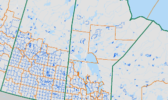
Boundary files
There are two types of boundary files: cartographic and digital. Cartographic boundary files portray the geographic areas using only the major land mass of Canada and its coastal islands. Digital boundary files portray the full extent of the geographic areas, including the coastal water area.

Road network files
Road network files are digital representations of Canada's national road network, containing information such as street names, types, directions and address ranges. User applications of these files may include mapping, geocoding, geographic searching, area delineation and database maintenance as a source for street names and locations.
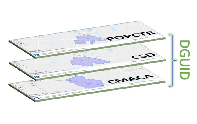
Dissemination Geographies Relationship File
The Dissemination Geographies Relationship File allows for the linking of different geographic levels using the Dissemination Geography Unique Identifiers (DGUIDs).
- Date modified: